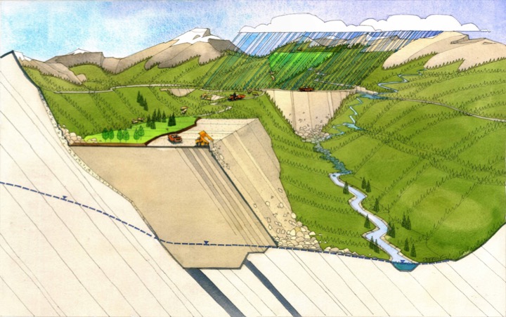
Developing methods to reliably predict soil water and ecosystem occurrence in severely disturbed landscapes.

In western/northern North America – and in many other parts of the world – growing-season soil water deficits are the norm. In these climates, the soil’s ability to store and supply water for ecosystem development (soil moisture regime, or SMR) governs the types of ecosystems a particular site is able to sustain. Numerous classification systems exist to predict SMR and ecosystem occurrence in relatively undisturbed areas, but SMR is very difficult to estimate in severely disturbed landscapes. IEG has developed a quantitative system to predict site SMR and corresponding vegetation communities across a range of sites, including disturbed mining landscapes. We developed this system using a small set of parameters that can be easily measured or estimated for existing or planned disturbances, including: regional and local climate, particle-size distribution, organic-matter content, and topography.
In this project, we used a large set of data from regional plots in southeast British Columbia to calibrate our model’s SMR and ecosystem predictions. Our analysis resulted in a substantial increase in the regional accuracy of the model. A field protocol was then developed for and successfully implemented by a local mining client; analysis of the data allowed them to:
· optimize material placement to cost-effectively meet revegetation and biodiversity goals,
· developed site-specific revegetation prescriptions matched to soil conditions,
· project and account for biodiversity impacts and ecosystem loss in the long-term post-closure environment, and
· integrate with GIS datasets for spatial analysis and modelling.


